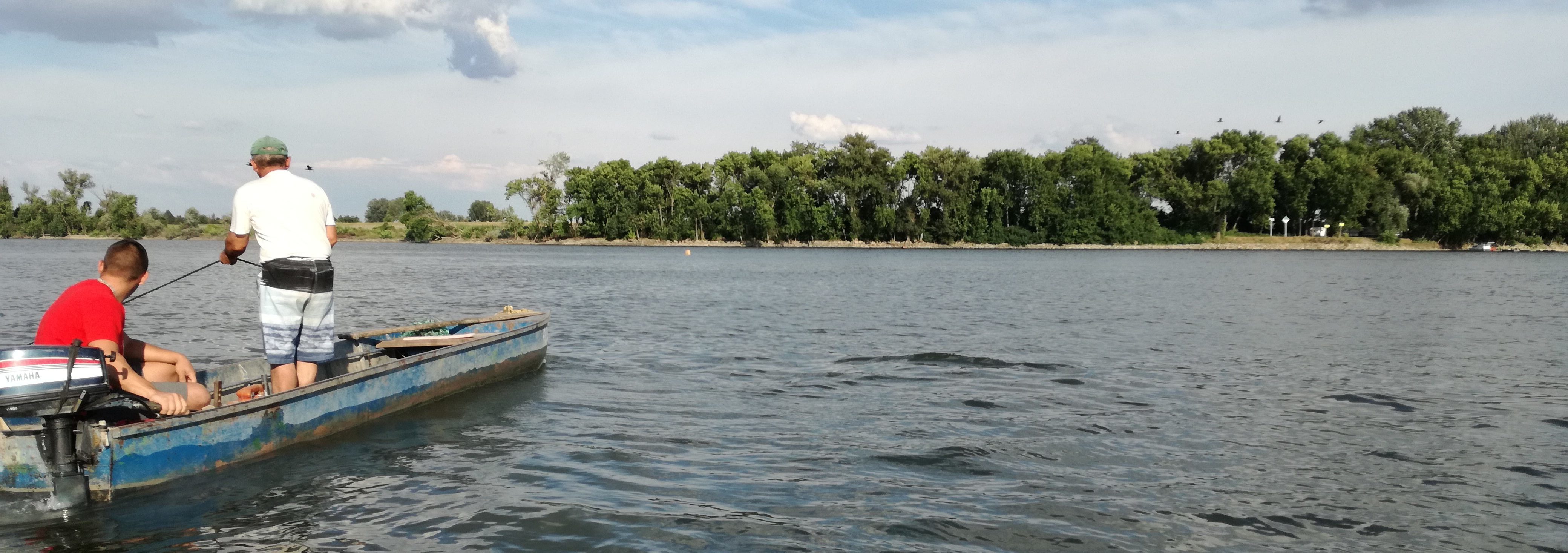
Fishing Area “Mlava“ extends across the fishing waters of:
the Danube (from the confluence of the Nera and the Danube at 1,075 rkm to the border of Đerdap National Park at 1,040 rkm), the Pek, Mlava and Resava Rivers, and all other tributaries of the said rivers and other natural or artificial fishing waters within the boundaries of the fishing area, except for fishing waters within the boundaries of the protected areas.
The boundary of the fishing area starts from the confluence of the Velika Morava into the Danube and goes eastwards along the right bank of the Danube to the confluence with the Nera, then continues along the state border to the administrative border of Kladovo Municipality and continues southwards along the eastern administrative borders of the municipalities of Majdanpek, Žagubica and Despotovac. The border goes farther to the west along the southern boundaries of the municipalities of Despotovac and Svilajnac, up to the Velika Morava and farther along its right bank up to the starting point.
“Mlava“ Fishing Area extends across the territories of the following local self-government units: the town of Požarevac and the municipalities of: Veliko Gradište, Golubac, Malo Crniće, Kučevo, Majdanpek, Žabari, Petrovac, Žagubica, Svilajnac and Despotovac.
“Mlava“ Fishing Area is used for recreational fishing, with the exception of the Danube fishing waters which can also be used for commercial fishing.